Distance: 62.5 mi / 100.5 k
Elevation Gain: 3,947 ft
Terrain Type: Paved, mostly smooth roads, open country roads and beautiful coastal climbs.
See the map and elevation →
Riding in the Marin County is synonymous with climbing. Nearly everywhere you turn, there's another hill to go up. Sometimes though, we need a break form pushing up our steepest ascents. While it's by no means climb-free, our Point Reyes Station loop is one of our favorites for getting in some solid miles of steady spinning.
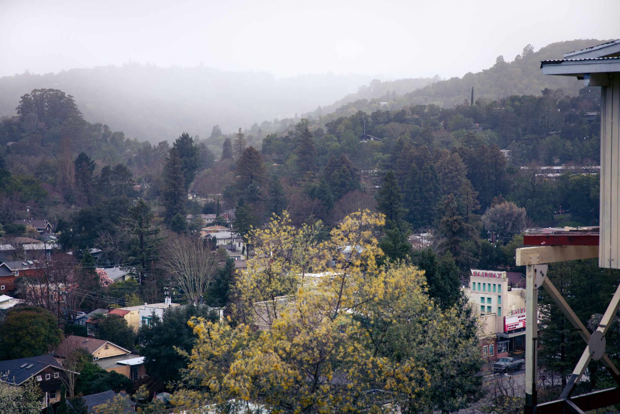
Like many of our rides, you'll roll out of the shop heading north. You'll cruise through Mill Valley, up and over the Camino Alto bump, then on through the neighborhoods until landing in the town of Fairfax. Need a snack or a bottle refill? Here would be a good place to stop.
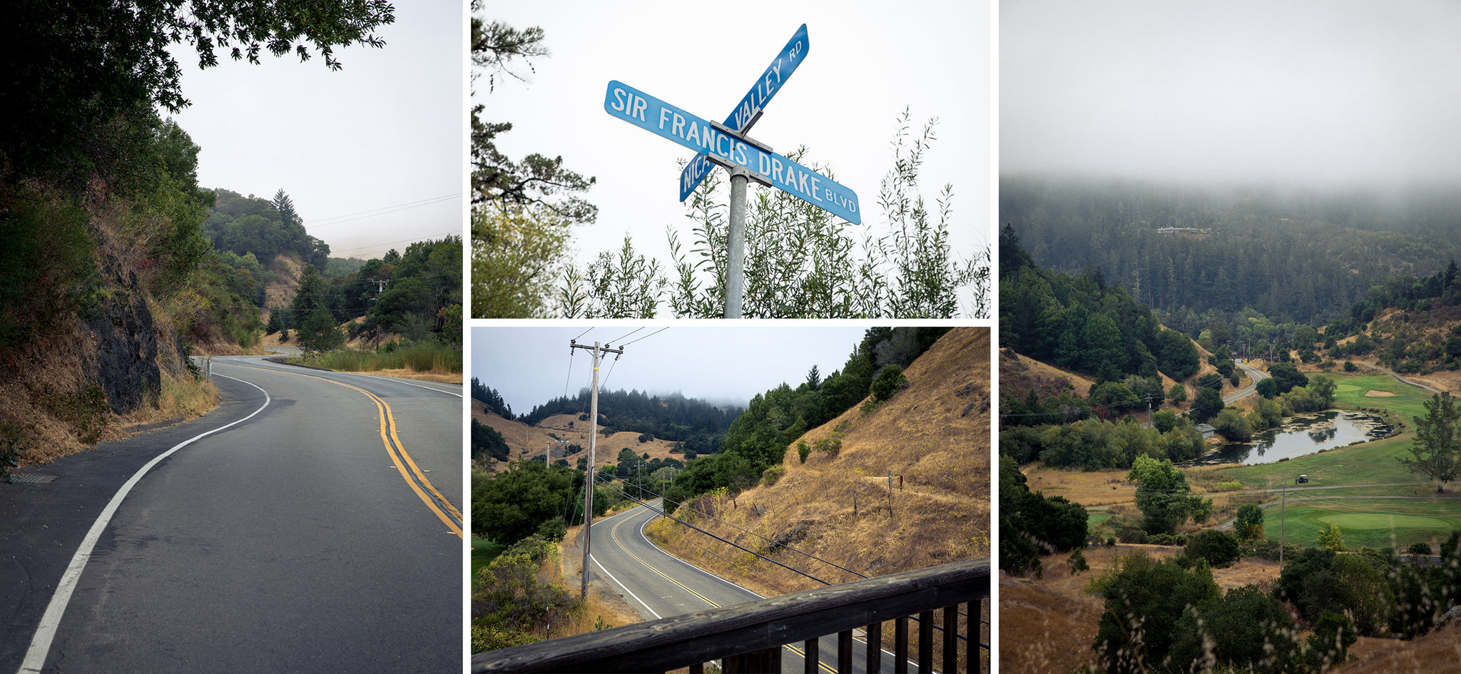
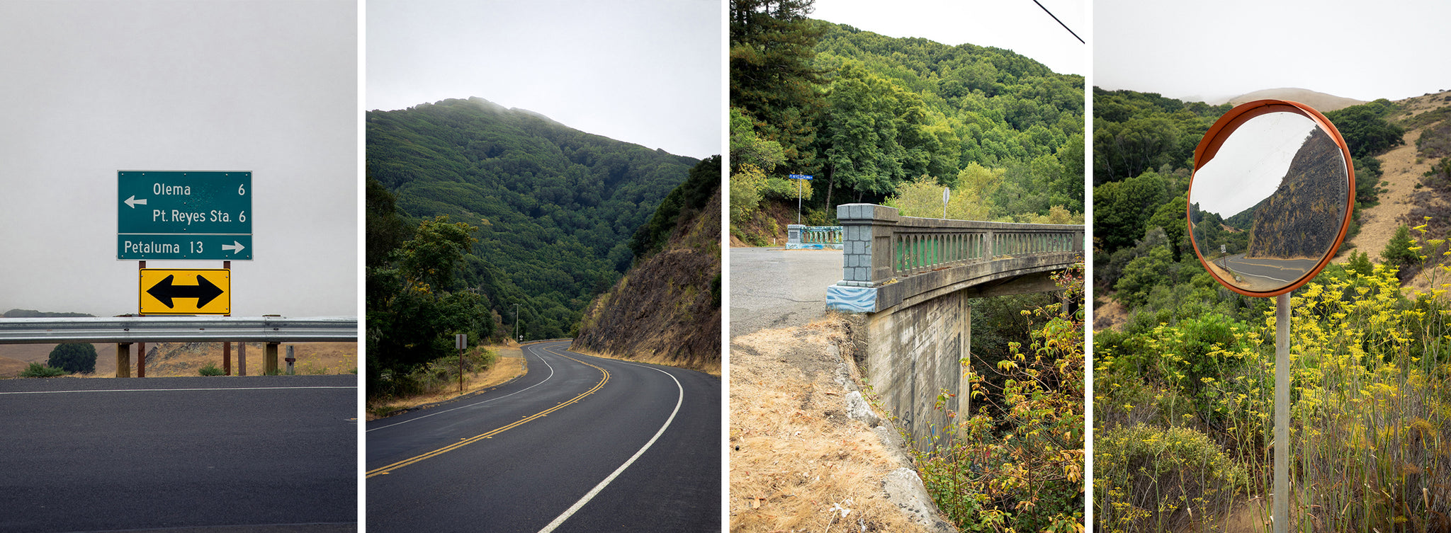
From here you'll continue venturing north, heading over White's Hill, leaving civilization behind for a while. A fast drop down the backside of the hill and you've made it to the San Geronimo Valley. You'll pass by the old golf course a few miles down the road and that's your queue to hang a right onto Nicasio Valley Road. Another mild climb and you'll bomb your way into the forested Lucas Valley.
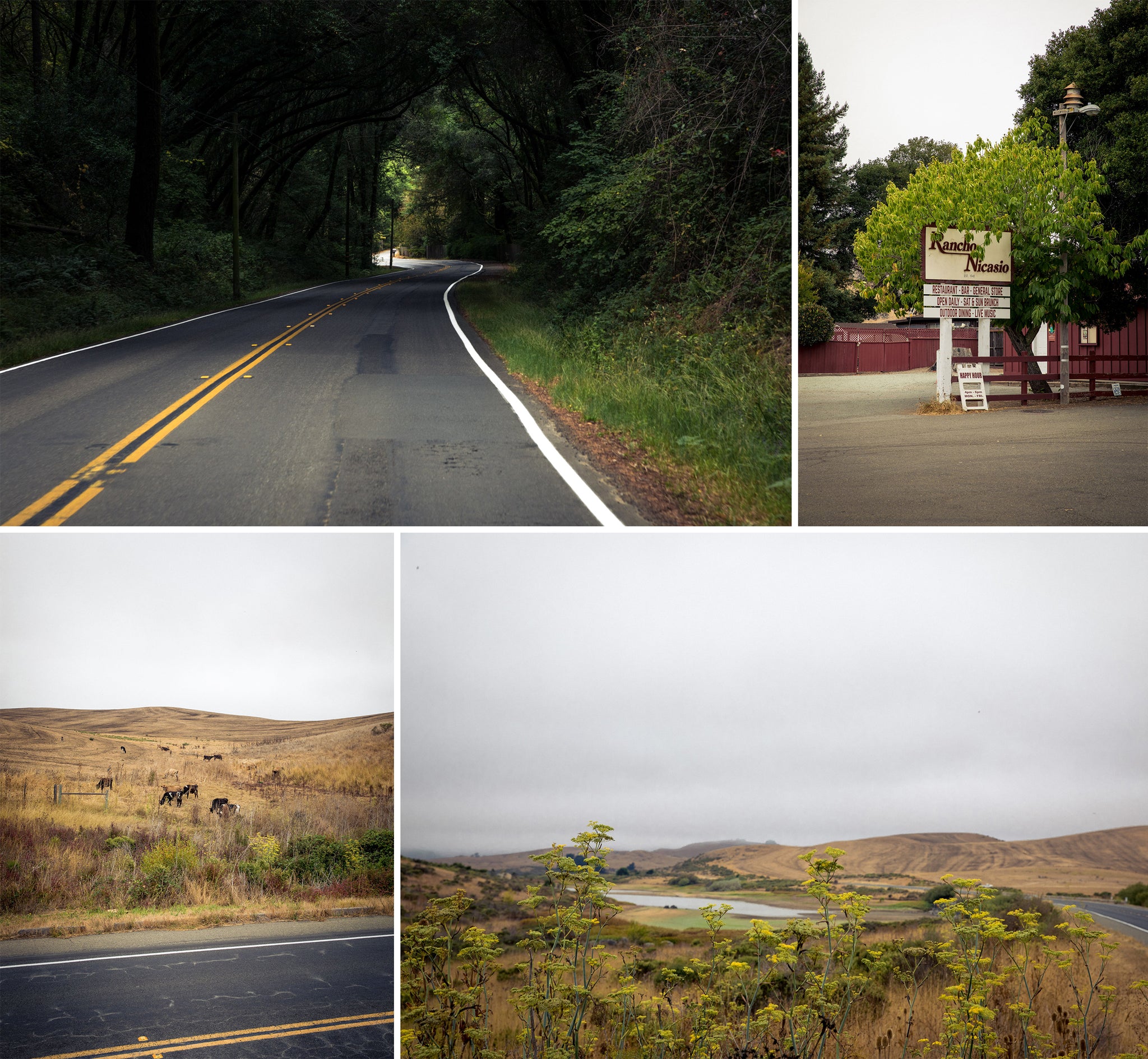
A serene spin through big trees will quickly turn to open farm land. You'll chicane through the small town of Nicasio and continue a flat spin north up to Point Reyes - Petaluma Road, with views of the Nicasio Reservoir to the left and fields of roaming cows to the right.
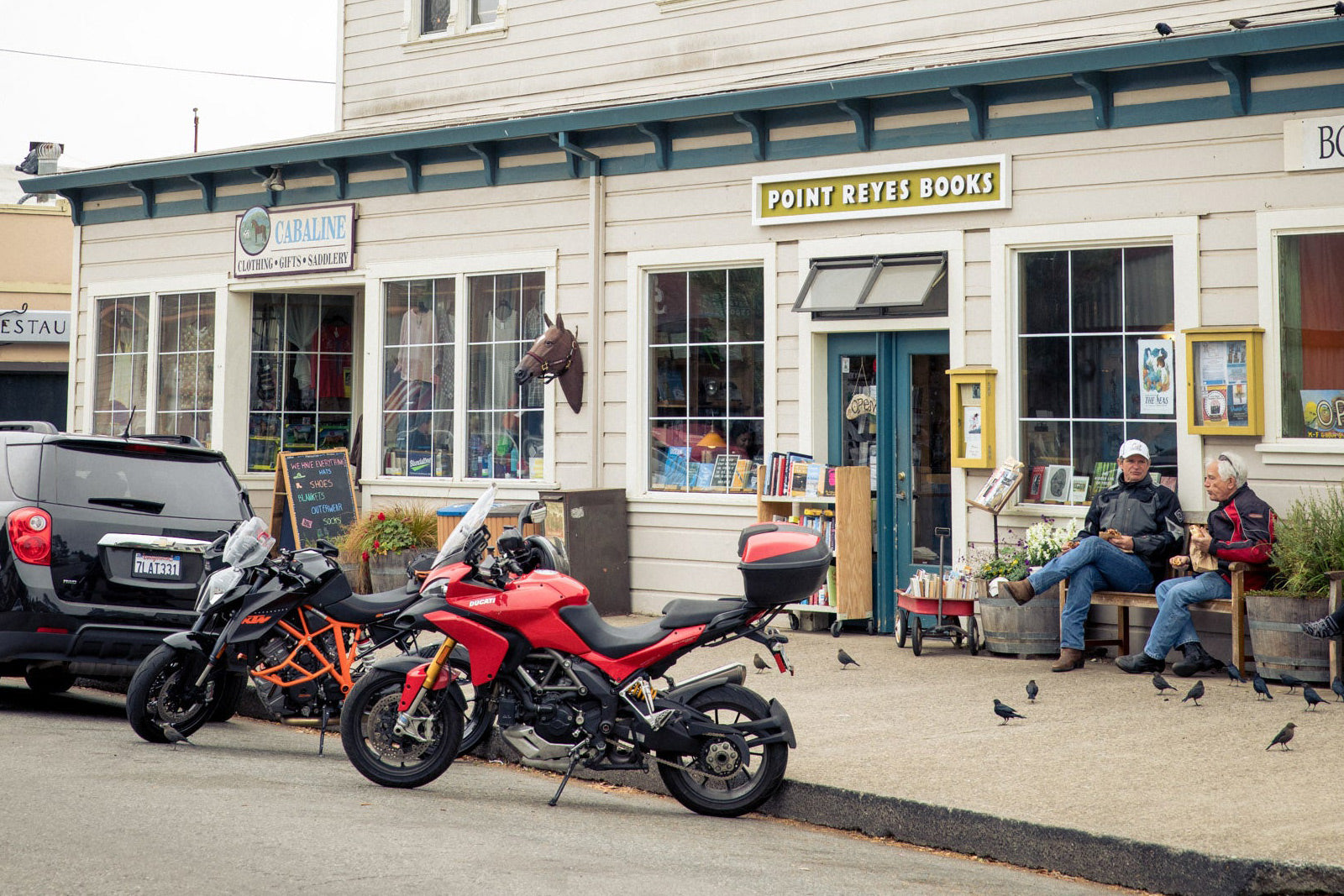
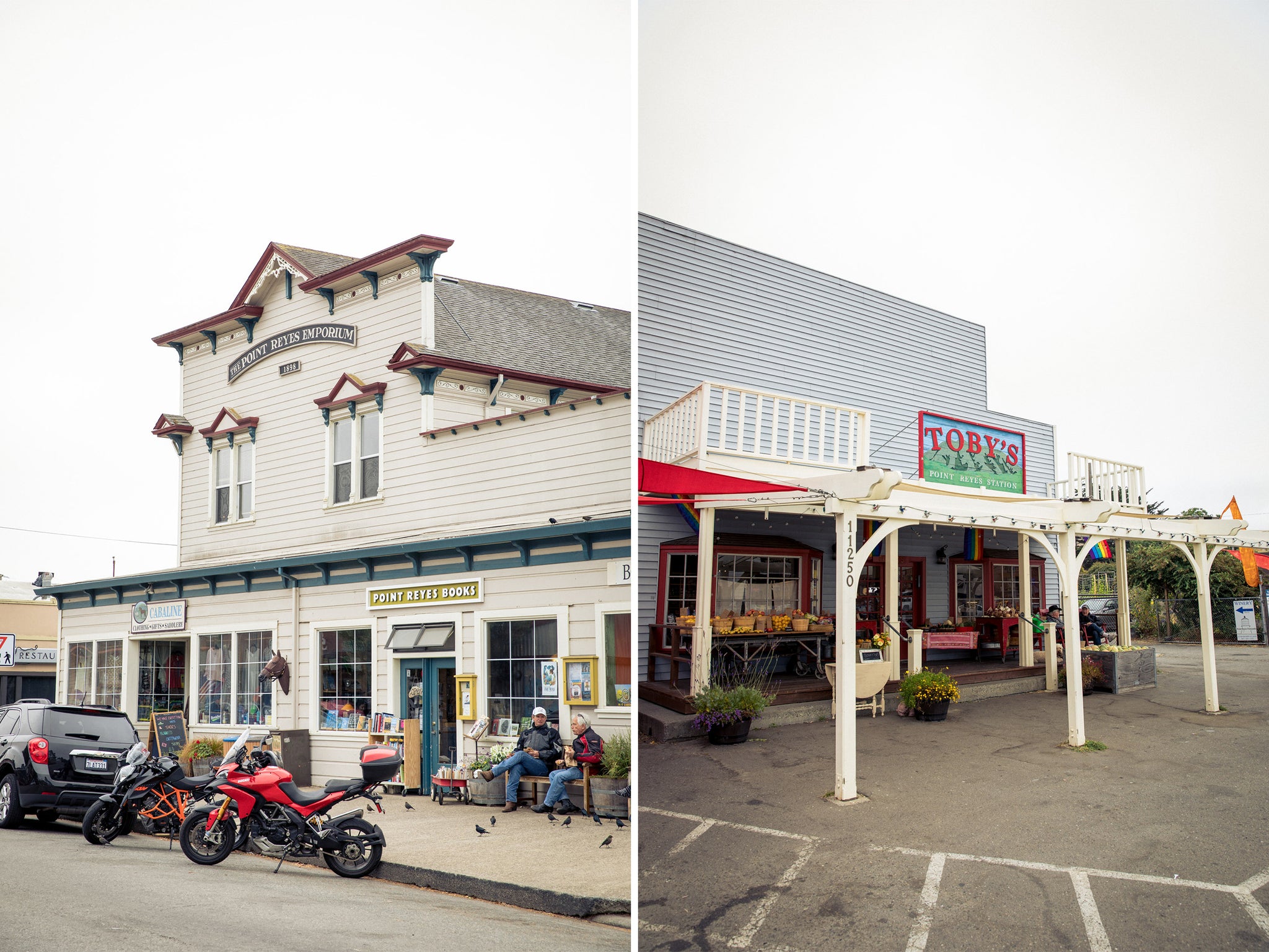
At the T intersection you'll head west, continuing around the reservoir and toward Point Reyes. You'll soon approach the colorful Platform Bridge, where you'll take a right and continue a couple miles more before landing in the town of Point Reyes Station. You've made it this far, do yourself a favor and refill your glycogen stores with a pastry from the famous Bovine Bakery. If you're here on a weekend, you might even catch some live music underneath Toby's Feed Bar.
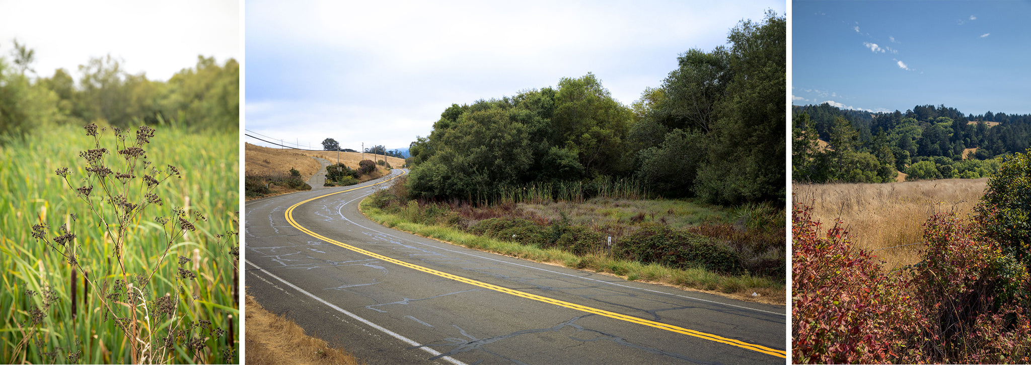
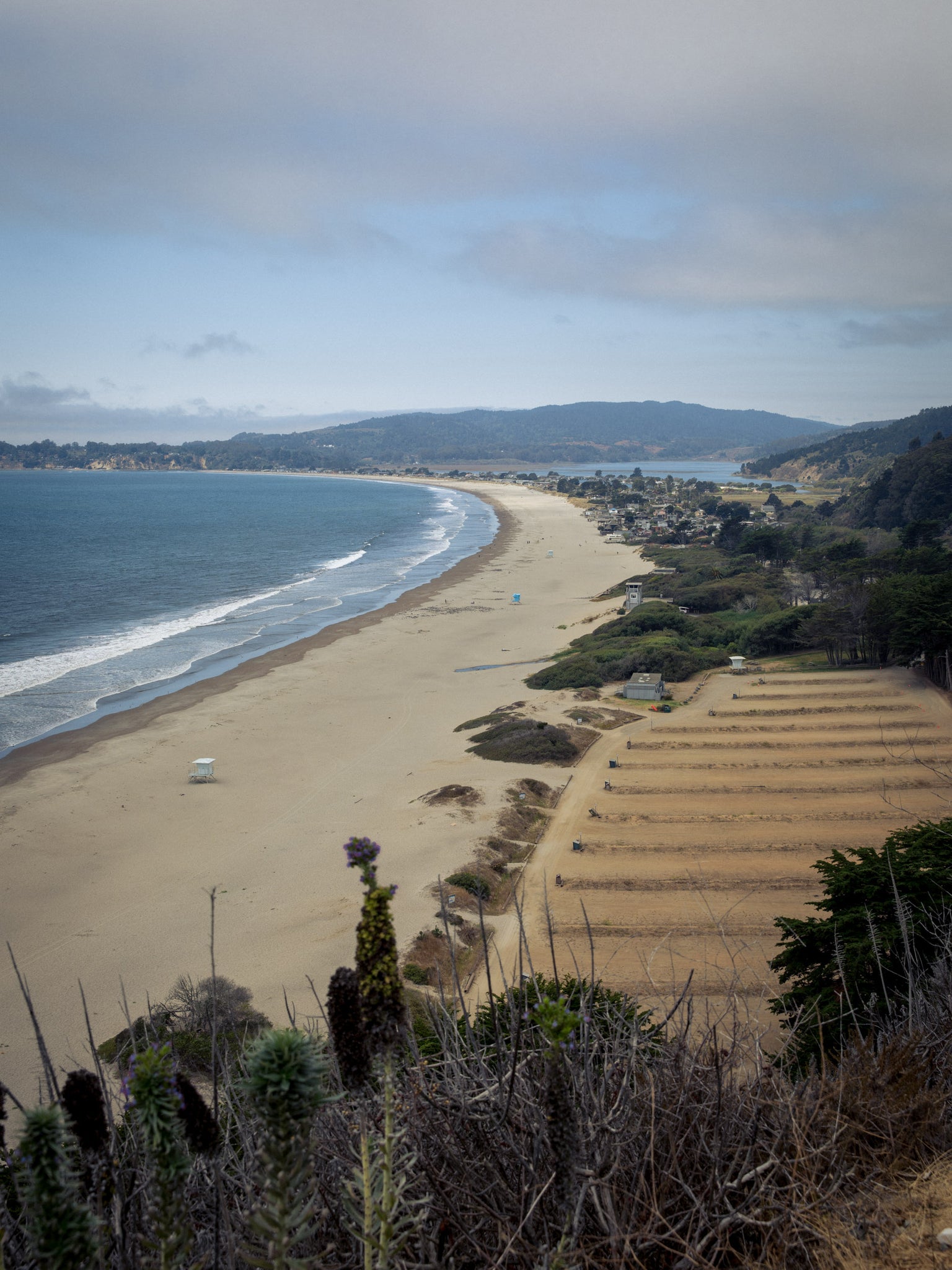
Now that you've refueled, it's time to make your way back south, and out to the ocean. It's a few miles of rolling hills, passing through wooded forest and open meadows, until you find yourself along the Bolinas Lagoon. If you want some extra credit elevation, you could hang a left and climb up Bo-Fax to the top of Mt. Tam, but it's almost a disservice to pass up the views staying along the coastal route. Coming into Stinson Beach, it's your last chance to fill your bottles or hit a nature break.
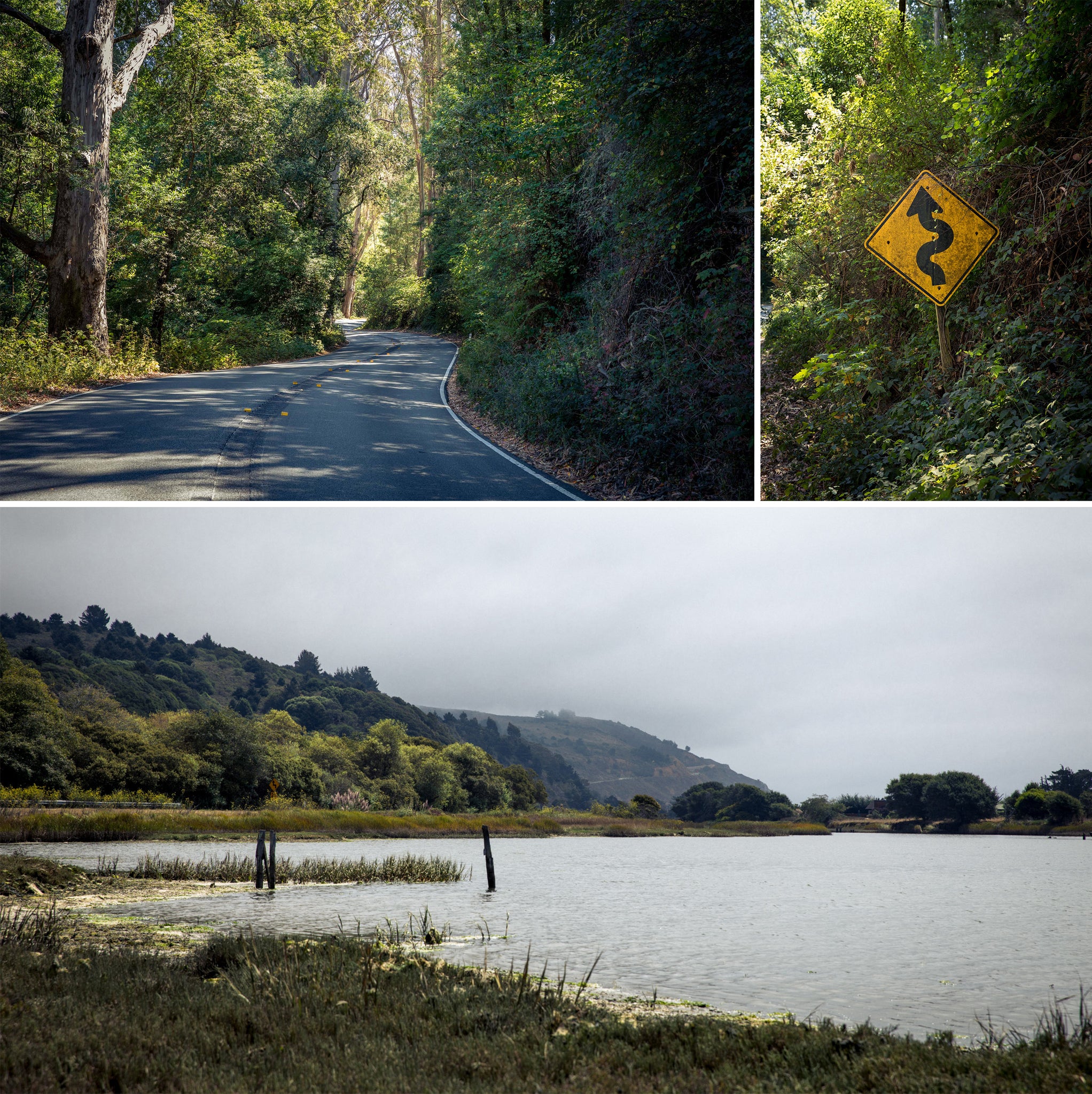
Continuing south, you'll hit a world class segment of highway one, with a series of punchy climbs and thrilling twisty descents, all overlooking the Pacific Ocean. One last climb up the Shoreline Highway from Muir Beach before descending you way back into Sausalito.


Back to Rides