Distance: 40 mi / 65 k
Elevation Gain: 3,405 ft
Terrain Type: Paved, mostly smooth roads. Challenging climbs, fast descents, and iconic coastal views.
See the map and elevation →
The Alpine Dam loop is considered by many to be the crown jewel of Marin County rides. The classic 40 mile road route tours a little bit of everything the area has to offer, from it's varied microclimates, unique neighborhoods, and of course a trip up and over our beloved Mount Tamalpais.
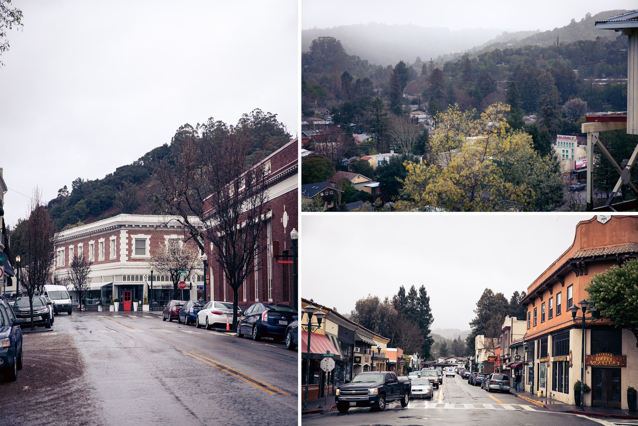
Rolling out of AC, the ride begins with a casual northbound cruise. Save for the quick Camino Alto bump, the first twelve or so miles are relatively flat, taking you through the quaint Marin County neighborhoods of Mill Valley, Ross, and San Anselmo; serving as a perfect warm up for the climbing that lies ahead. Once you see the sign of the old Fairfax theater, take note as it's your last chance to stock up on snacks or grab a final espresso shot. Hang a left on Fairfax-Bolinas Road and as you leave town you'll notice the the buildings dissipate in exchange for more trees.
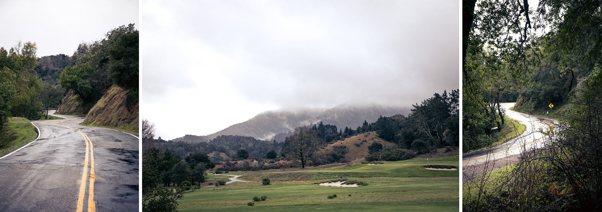
Hopefully your coffee break wasn't to long and your legs haven't gone cold, as you'll now face the first real climb of the day. Over four miles you'll scale a steep and twisty ascent, passing the Meadow Club golf course before finally enjoying a well deserved descent.
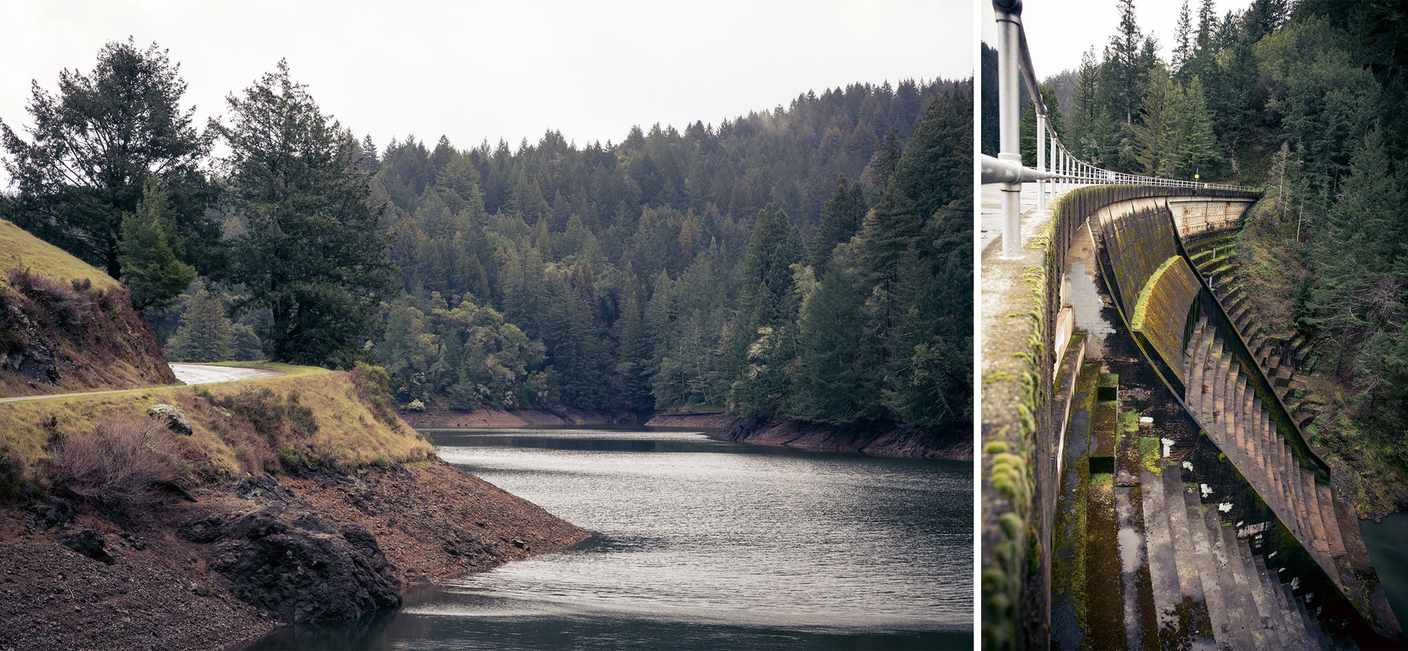
The road follows on, rolling and weaving around Alpine lake until you finally hit the dam itself. To the east, a serene view Alpine Lake. To the west, a look down stomach-dropping plunge of the dam itself. Enjoy it, 'Gram it, eat a snack; it's about to get steep and brutal again.
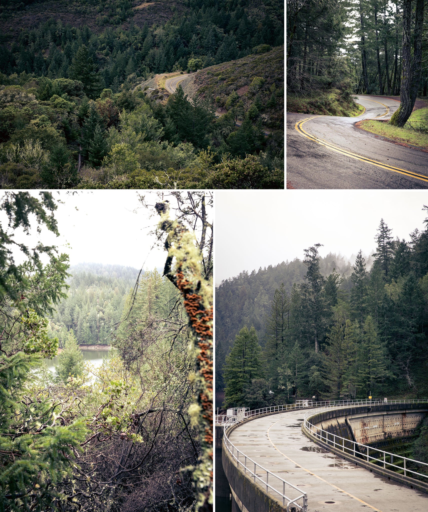
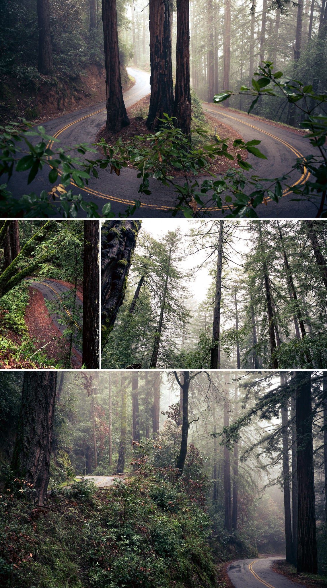
The road up and out of the dam is a tight and twisty one, surrounded in tree coverage. You'll find yourself rounding a series of incredible switchbacks as you make your way to the top.
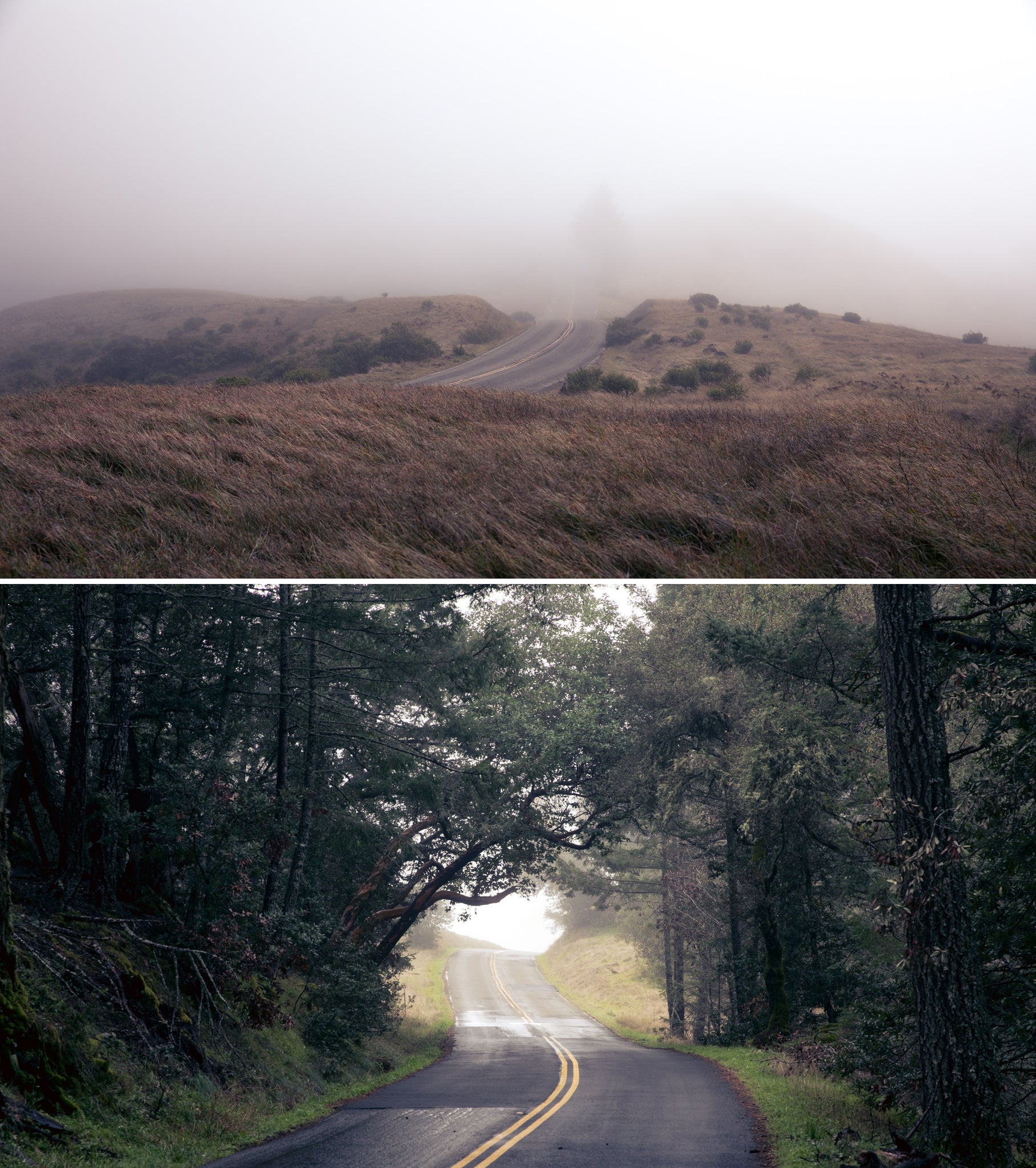
Congratulations! You've made it to the ridge! Enjoy the break while it lasts because the climbings not over yet. Continuing south over the ridge of Mount Tam, you'll tackle the beloved Seven Sisters. Seven punchy rollers over the course of about three miles. They hurt, especially after all the climbing you put in to get here, but at least you'll have the one of the best views of Pacific Ocean to keep you distracted (so long as Stinson Beach isn't caked in fog).
Finally, it's all downhill from here. Hang a right down Pantoll road but proceed with caution, some of the corners can get a little greasy. Hitting the stop sign, you'll take a left onto Panoramic. From here you can lay off the brakes and let it rip. Keep following the road down, take one last left onto Shoreline Highway, and you find your way back into Mill Valley. Enjoy a celebratory espresso or iced matcha at the Prooflab Equator before cruising down the bike path back to the AC.




Back to Rides