

Stage One: Deer Park Fire Road
Distance - 3.02 miles | Elevation Gain - 1,400 ft | Average Grade - 8.5%

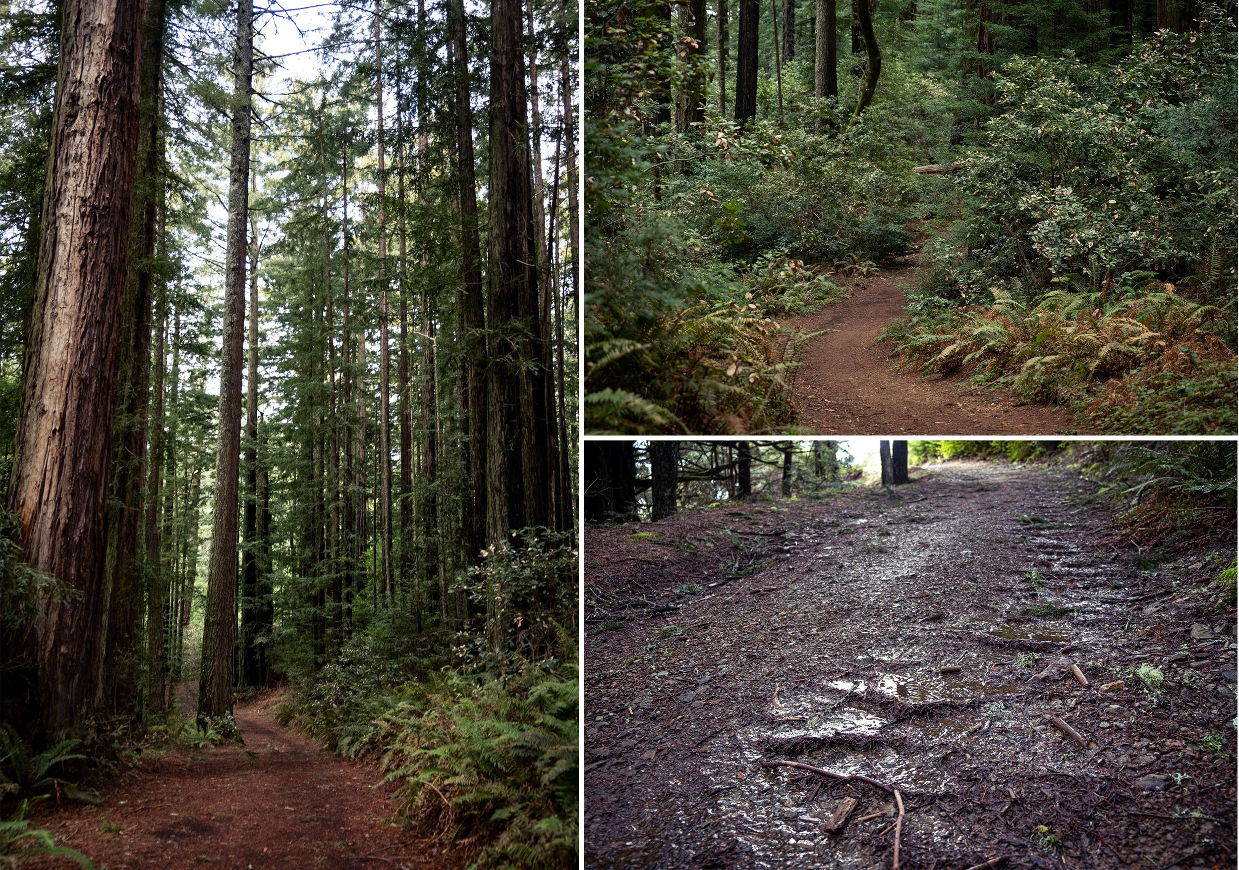
The party gets started at the gate to Deer Park fire road. Wasting no time at all, you're greeted with a steep, zig zagging pitch into the woods. Surrounded by twisty madrone and oak trees, you'll push up the steep risers, often hitting slopes over 15%. While the dirt is generally hard packed, it's often a bit off camber and can easily range from loose and dusty to a slick slip and slide depending on recent precipitations. Oh and there are litterings of baseball sized rocks periodically spanning the trail for water run off management. Surely no problem should you decide to roll up 28c slicks, right?

About a half mile up, you'll round a corner and the incline will level off for a little bit. The trail continues from open clearings to tunnels of forrest, transitioning back and forth from hard dirt to loam. While crossing some of the clearings, you'll encounter more rock droppings to manage water damage. Depending on your tire choice, you'll really want to select your line wisely. If you find yourself in need of a distraction from the pain cave, a quick look over your left shoulder will treat you to views out to the coast line.

Halfway up the stage, you'll leave an exposed clearing and become immersed in lush greens and towering Douglas firs. The dirt gets soft and loamy, with plenty surprise roots to look out for. The trail transitions to rolling for a bit, giving some brief moments to recover and let things rip before the final steep incline out of the forest.
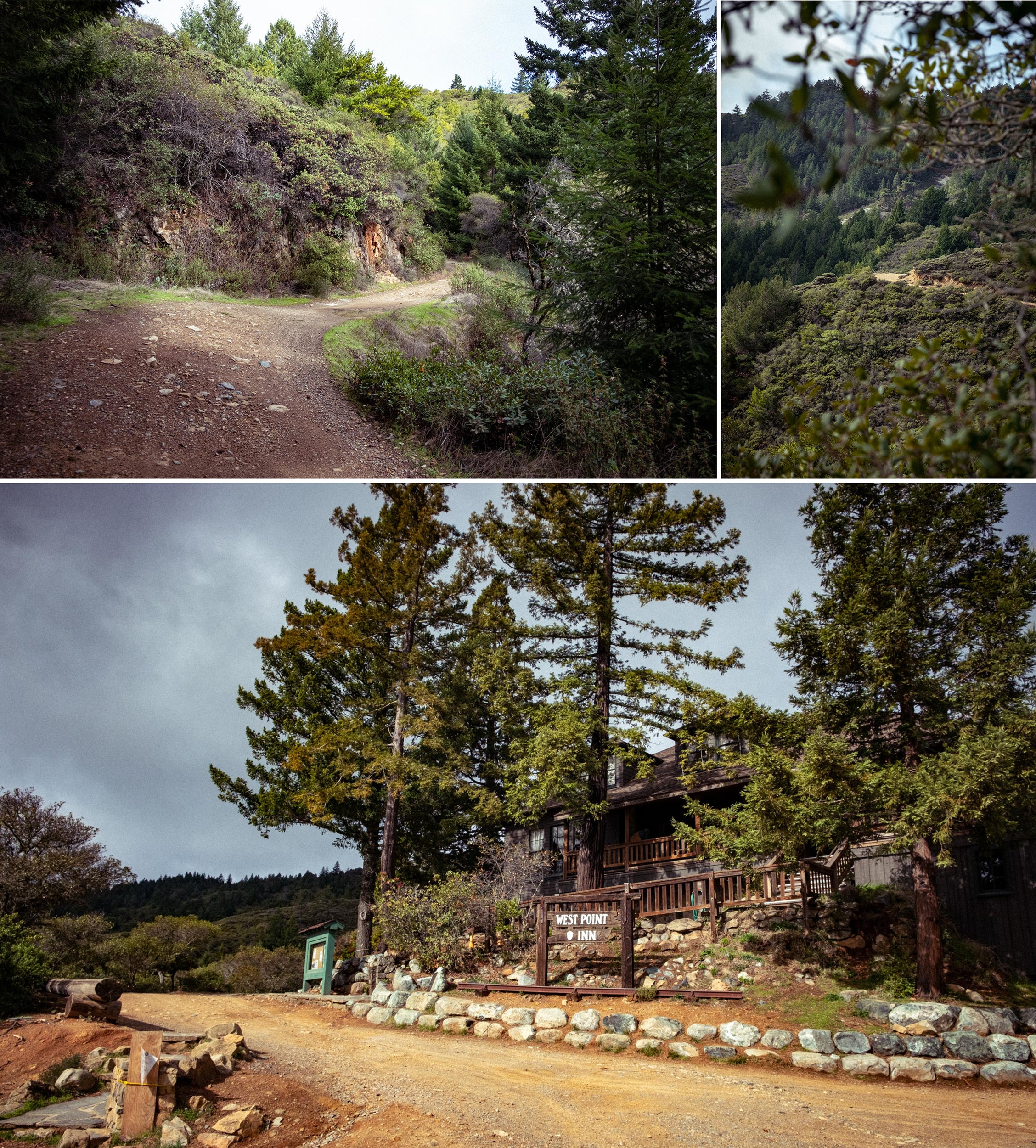
The trail opens up and connects with Coast View Trail. Don't stop there though, a final stretch on a paved path will bring you to the finish at the Pantoll station. Sprint across the bots dots and you can enjoy a moment to catch your breath. Remember, you've only got five minutes to cross the street and begin stage two.

Stage Two: Pantoll to East Peak
Distance - 3.57 miles | Elevation Gain - 843 ft | Average Grade - 4.4%

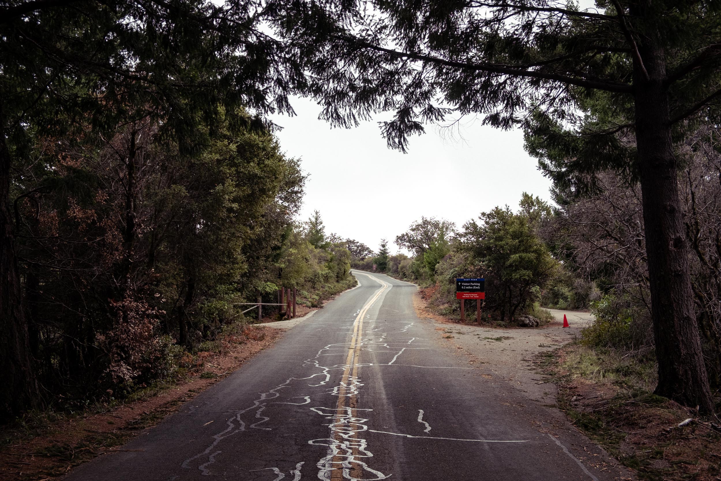
After a sip of water and slamming a gel, ride across the Great Highway and get yourself ready to throw down once again. While Stage two starts on a similar paved path to how Stage One ends, this segment is an entirely different beast.

The path leads out to Stagecoach Fire Road, also know as the Old Stage Road. While it's largely a rolling traverse, don't be fooled into thinking it'll be easy. As soon as the path turns to dirt, things start getting rough and rocky.


About a 1 3/4 miles into the stage, things start to shift from rocks back to dirt. The incline gradually picks up until you find yourself at at West Point in. While we're all used to stopping here to eat a snack and soak in the views, you're gonna want to resist the urge, take a hard left, and keep pushing through.
Now you're on the famed Old Rail Road Grade. For the next mile and a half you'll lock into a steady 6% grade. Relieved of the chunky serpentine rock of Stagecoach, you can settle in and focus on hammering it out to the top.

When you see you're about to enter the trees and the lookout tower is in sight, you know you're in the final stretch. Hopefully you've left something in the tank because the final sprint up the 10% pitch doesn't show sympathy for anyone.
Phew. You made it. Hopefully you stashed a cold one at the top you can enjoy the views and revel in finally reaching the summit. Now that the hard parts over, how you shred back down the mountain is entirely up to you!

To learn more and enter the challenge, go here


Back to Journal